
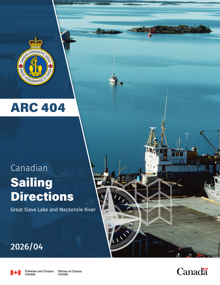
Canadian Sailing Directions

The Sailing Directions books are an indispensable companion to nautical charts. They are a great tool for planning and assisting in navigation because they provide information that cannot be shown on a chart.
Click here to learn more about Sailing Directions features.
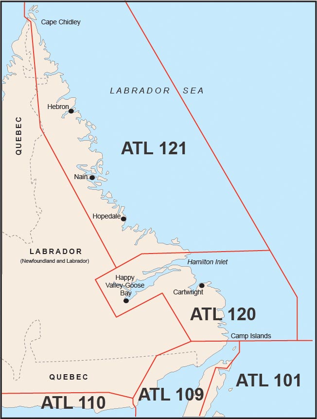
Atlantic Coast


Central Canada


Pacific Coast

Northern Canada


Sailing Directions Features

| Oblique aerial photography of harbours and prominent features | |
| Plans of harbours, wharves and bridges supplemental to those carried on the charts. | |
| Voyage Planning : historical meteorological and ice conditions, climate, tidal streams, distance between ports tables, preferred routes, preferred tides or weather conditions to enter or leave port or to make passage, regulations. | |
| Safety Information: Canadian buoyage system description, cold water survival, effect of wind on exposed persons, sailing plan, distress assistance. | |
| Cultural and historical information: description of government, ethnicity of the population, historically significant points of interest, ecological reserves, plant and animal life. | |
   |
Port Facilities: berths, anchorage, mooring, fresh water, fuel, waste oil collection, chandlery, slips, medical. |
  |
Navigation Objects: buoys, lights, radio aids, conspicuous objects (headlands, hills, churches, towers), calling-in-points, traffic lanes. |
  |
Dangers: rocks, reefs, wrecks, currents, local ice conditions, local weather conditions affecting safe navigation. |
  |
Government Agencies: Pilotage, Life Saving Stations, Customs, Search and Rescue, Coast Guard, Police. |
- Date modified: