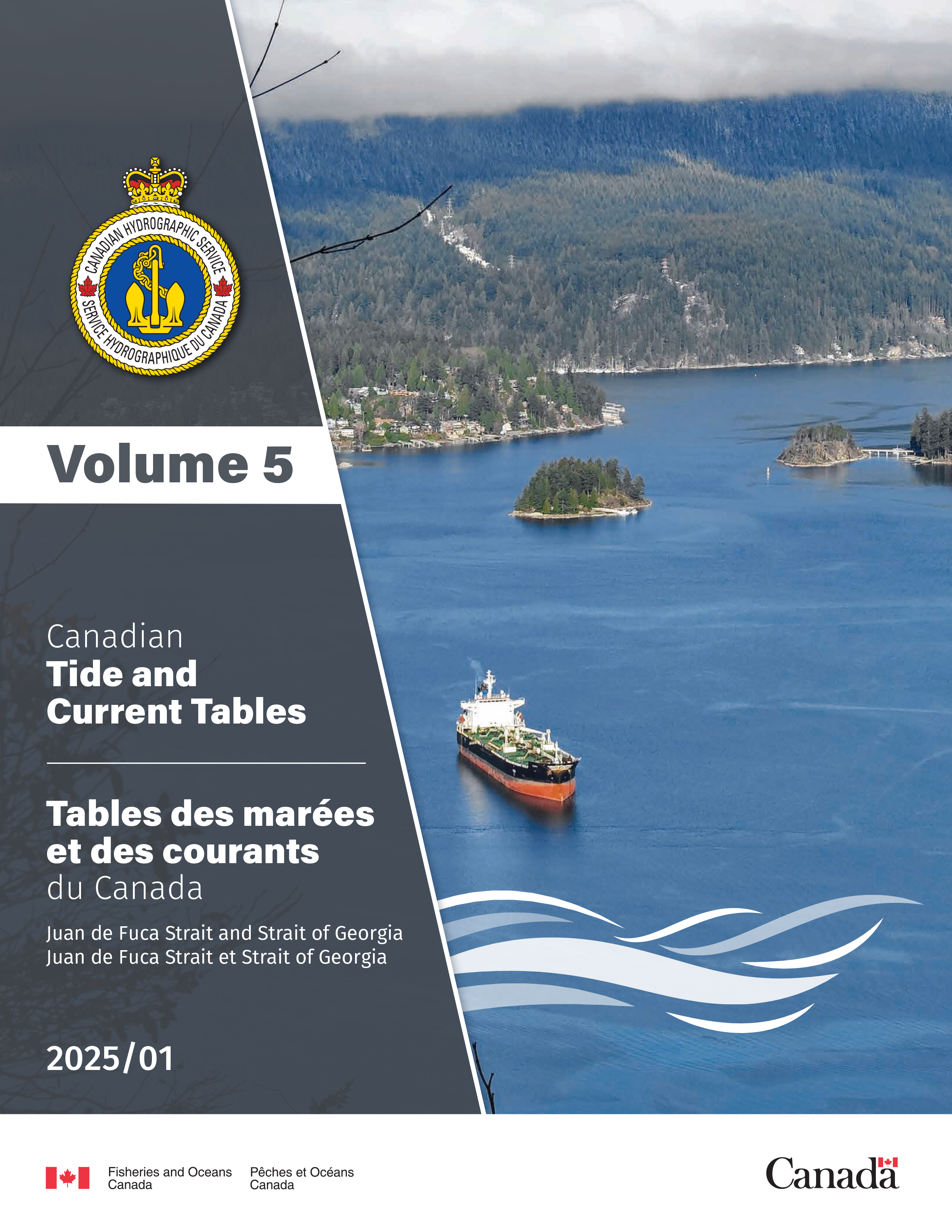
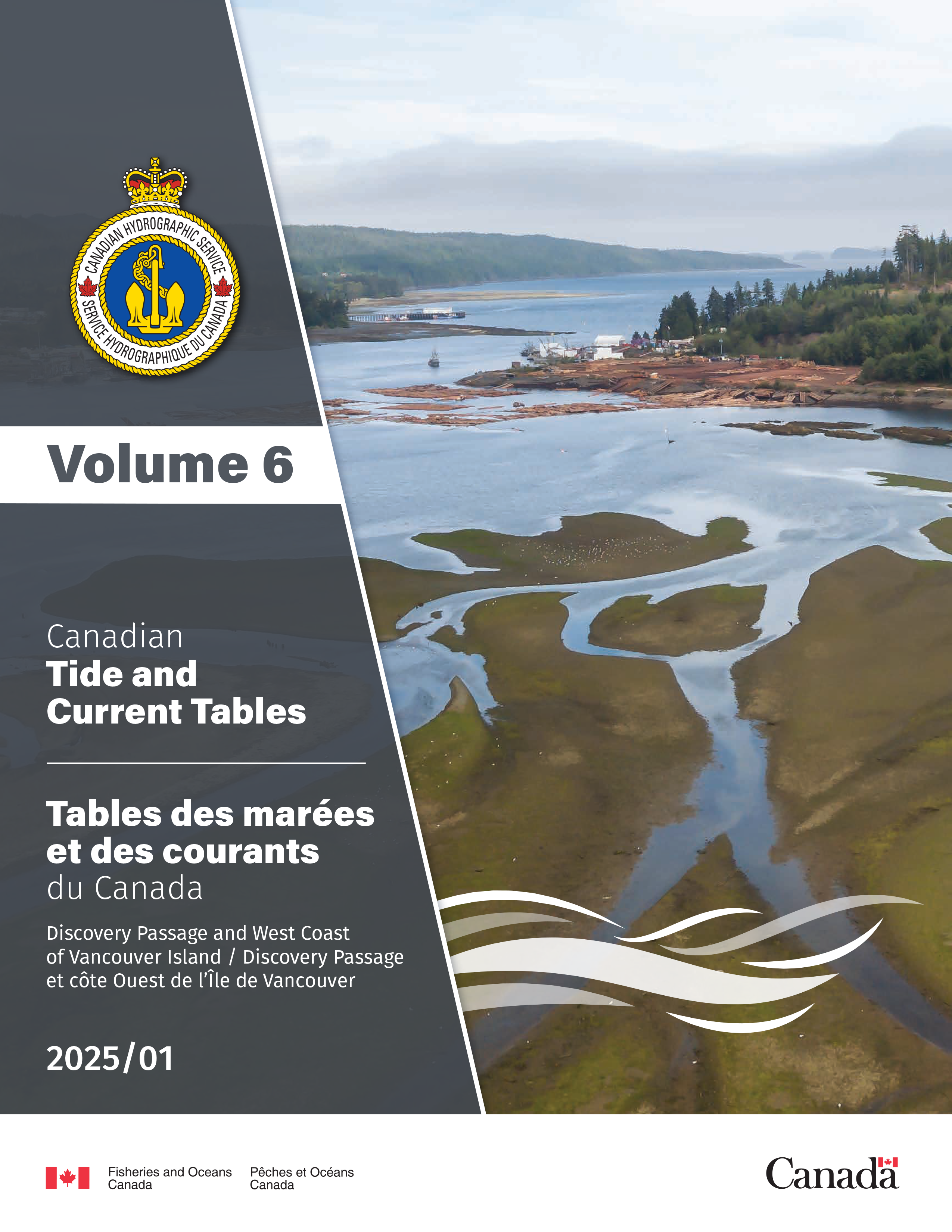
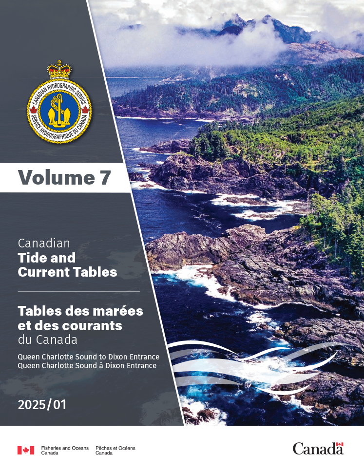
Canadian Tide and Current Tables
Tide tables include predicted times and heights of the high and low waters associated with the vertical movement of the tide. They're available in table, graphic and text formats.
Current tables provide predicted slack water times and maximum current times and velocities associated with the horizontal movement of the tide.
Click the links below to download the complete annual publication of the Canadian Tide and Current Tables.
Alternatively, try our new water levels tools: REST-API for direct access to official water level data.
Complete annual publications
2025
- Date modified:
